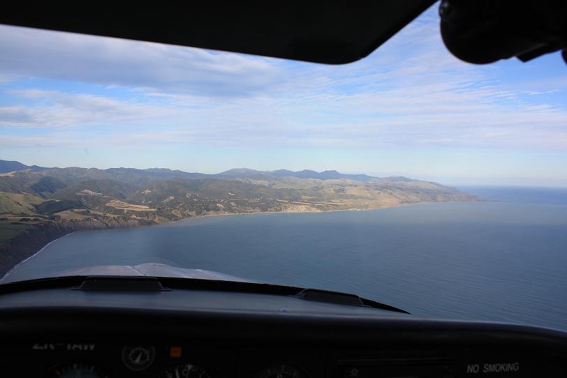
During today's "epic mission" Jason [passenger on the last leg] and I managed to get a few pictures of the local scenery.
All of these pictures are within [roughly] 1 hour flight time, which shows just how much the terrain can change in a short time. Top to bottom, the images are:
Just south of Pukerua Bay [northern Wellington area]
Paekakariki township
Lake Horowhenua [Levin township in the background]
Coastline looking south
Kapiti Island
"Central" Wairarapa area, looking east
"Central" Wairarapa area, looking south-west
Lake Wairarapa looking south to Palliser Bay